“Hiking is the answer. Who cares what the question is.
-Anonymous
“I walk, I look, I see, I stop, I photograph.”
-Leon Levinstein
After resting my ankle for three days, I decided it was time to get back out into the woods. The swelling was gone and it felt pretty good so I figured at the very least I would lace the boots up and if it hurt too much I could just turn around and end today’s hike early.
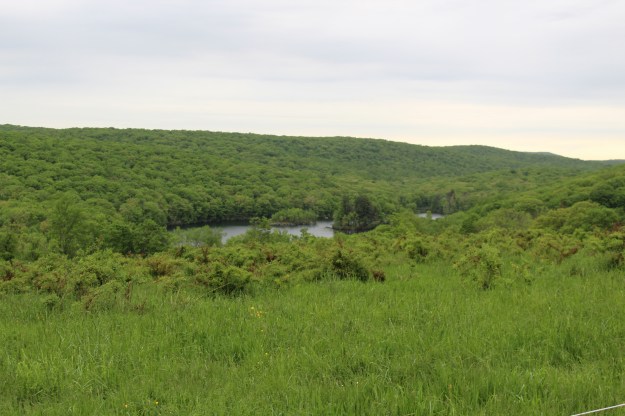
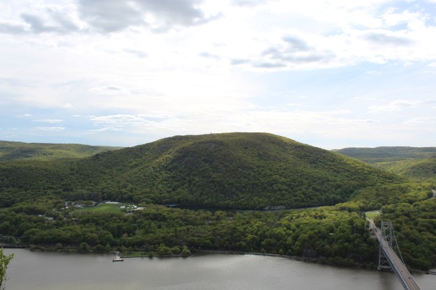
As you pull into the parking lot, this is your view.

Lake Skannatati
As is the norm with most of my summer hikes, I got the parking area pretty early today. Since it is the day before Independence Day, I thought that even at this hour more people would have been out. But at 6:10 am, the only other person I saw was this guy fishing!

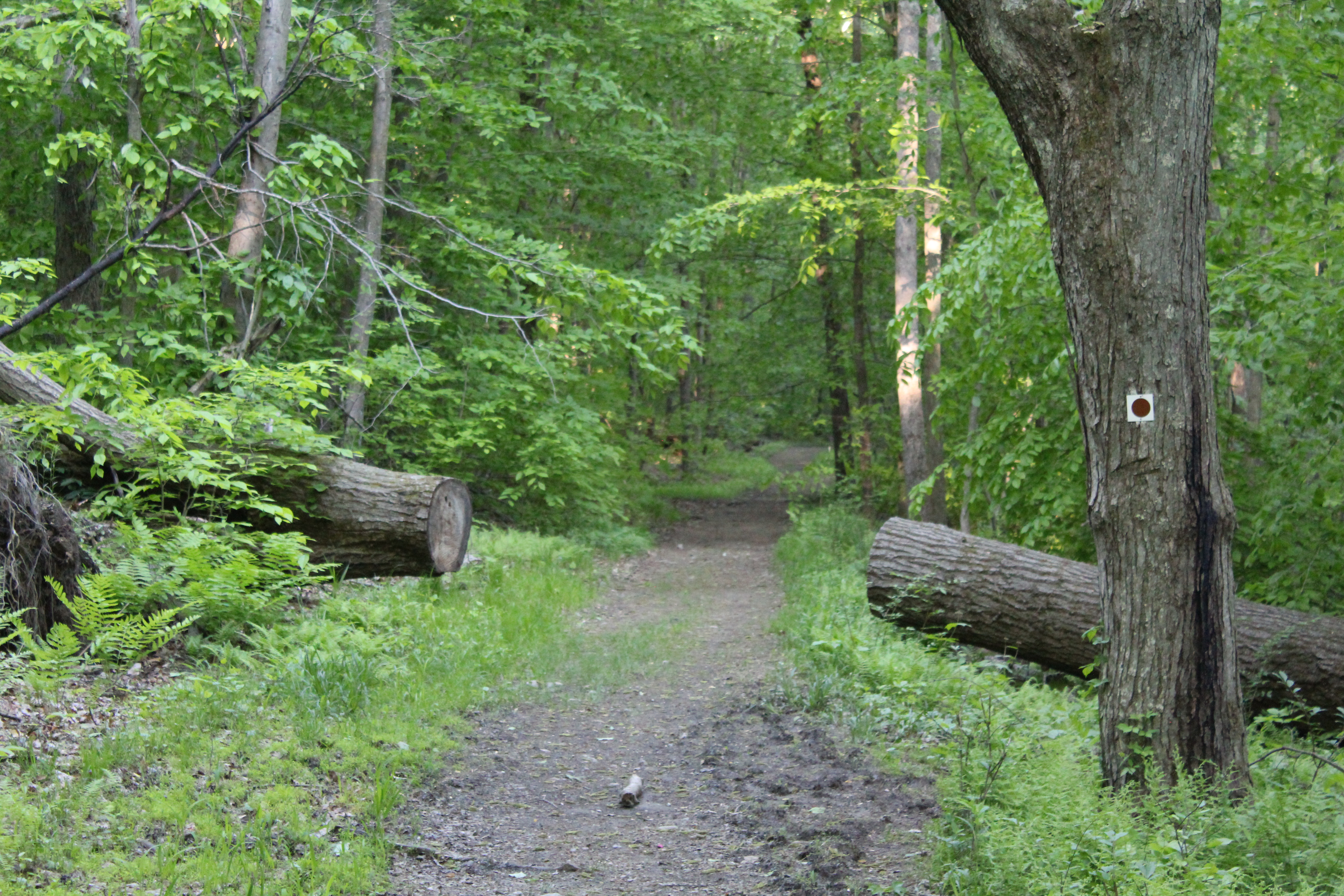
To the right of the lake you immediately see a kiosk and two trails. This will be the start as well as the end of the hike. The blue blazed Long Path is on your left and the red triangle A-SB (Arden Surebridge) will be on your right.
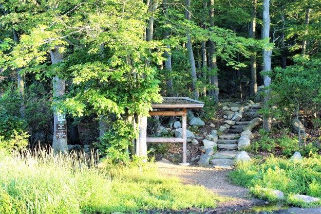
The beginning and end of the hike.
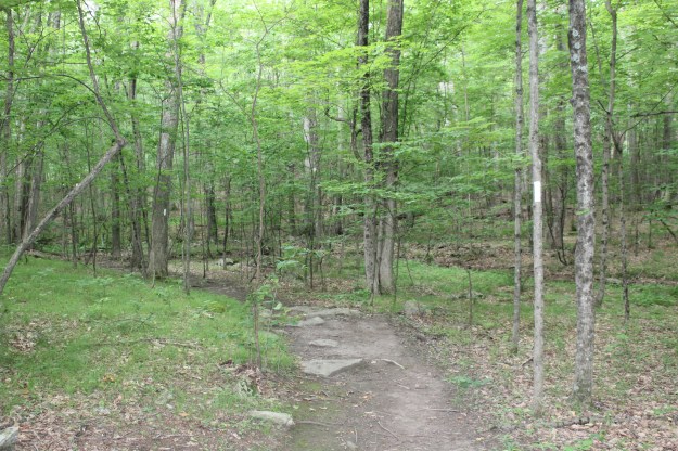
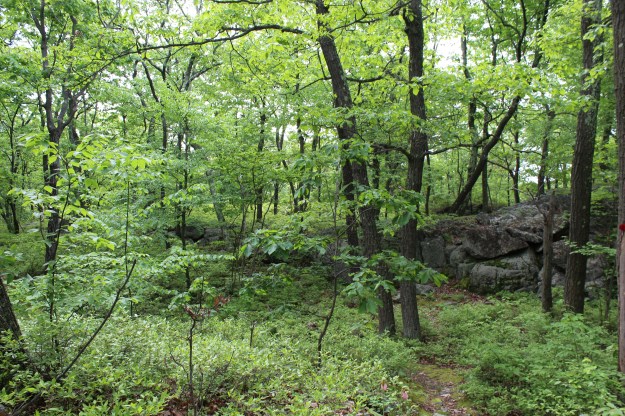
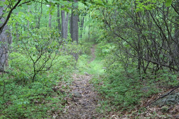
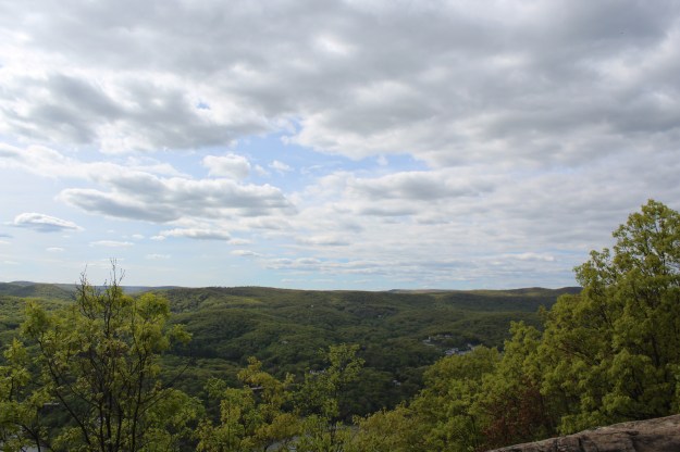
Starting on the Long Path, you will wind your way around the lake, mainly staying on even ground. As you move deeper into the woods, you begin a series of small ups and downs on the trail until you intersect with the yellow blazed Dunning Trail. If you are looking for an even shorter hike than this one, you could make the right onto this trail and it will eventually intersect with the A-SB trail. Instead, take a left and after a few minutes the Long Path will turn off to the right while Dunning Trail stays on the left.

The Long Path intersects with the Dunning Trail
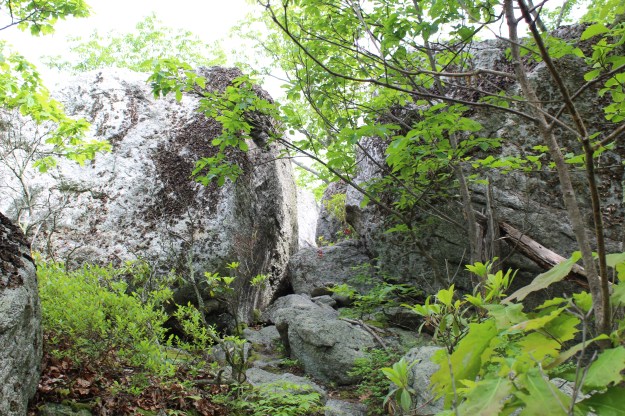
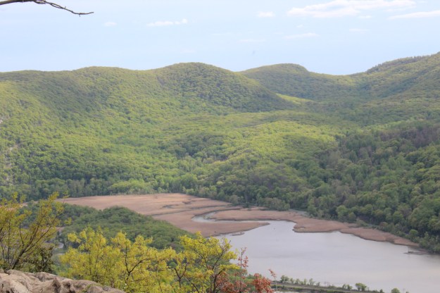
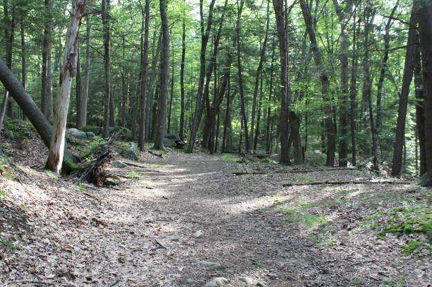
Staying on the LP, you begin a steady climb until you reach the A-SB trail.
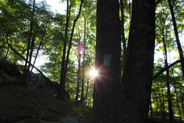
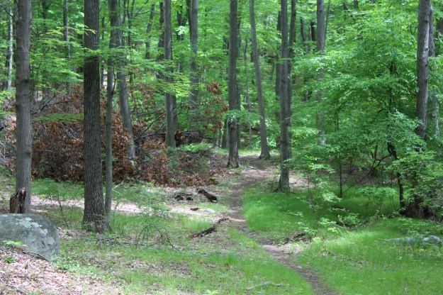
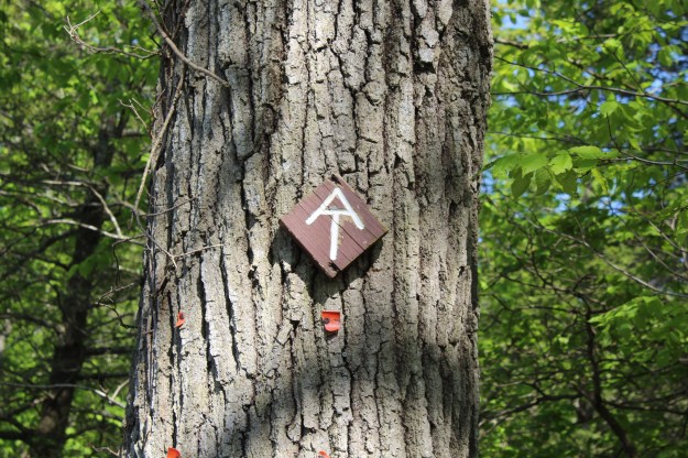
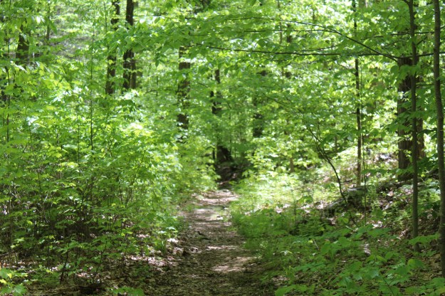
The blue blazed Long Path

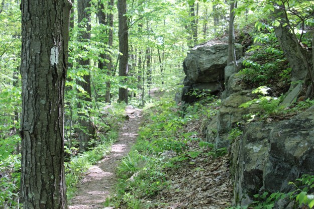
Red Triangle A-SB Trail
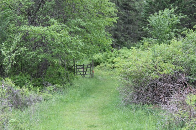
Heading down the A-SB Trail back towards the lake.
Once you turn onto the A-SB trail, it’s mainly all downhill until you get to the lake.
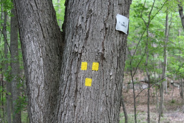
Overall I enjoyed this hike. The difficulty rating of moderate that I have seen in its description seems appropriate. The only negative thing that I can see with it, and this has been an issue with the Long Path in the past is the way that they blaze the trail. While I was on the LP today I spent way to much today not being able to find blazes and I had to reroute myself several times. They could definitely put some of the blazes closer together and at critical junctures make it easier to follow them.
Summer 2017 Mileage:
7/3/17-4.3-16.02