On Wednesday 7/12/17, I went on a hike that was a bit of a beast. It involved some pretty intense ascents that required climbing on all fours. Needless to say, once you made it to the top, you had to go back down. This was even more treacherous. There were points on the descent where I had to throw my hiking sticks down 20-30 feet and “butt scoot” down in order to get through certain sections.
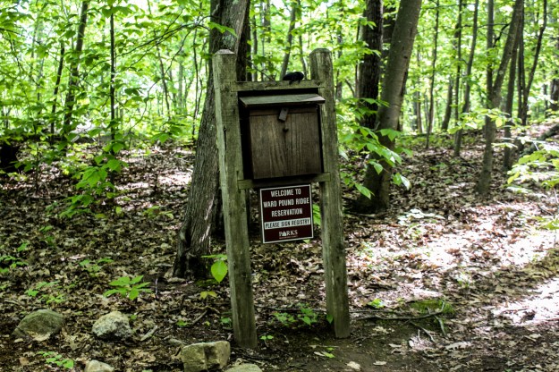
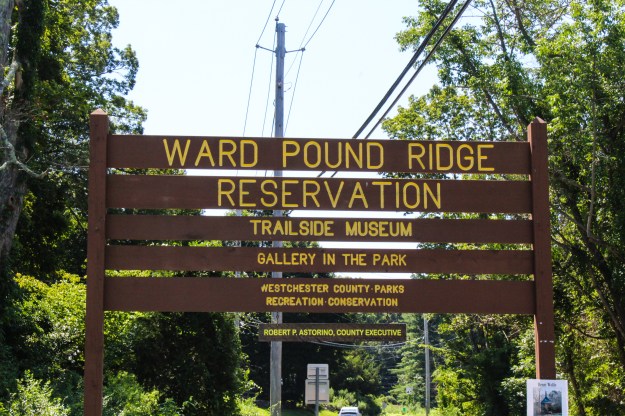
Anyway, back to the beginning. This hike started out at the Reeves Meadow Visitor Center in southern Harriman State Park.
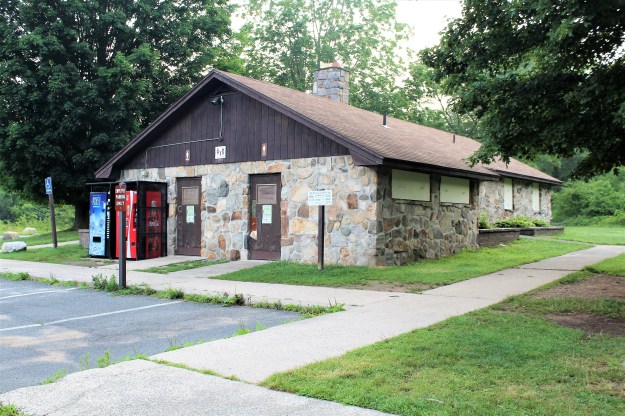
Reeves Meadow Visitor Center
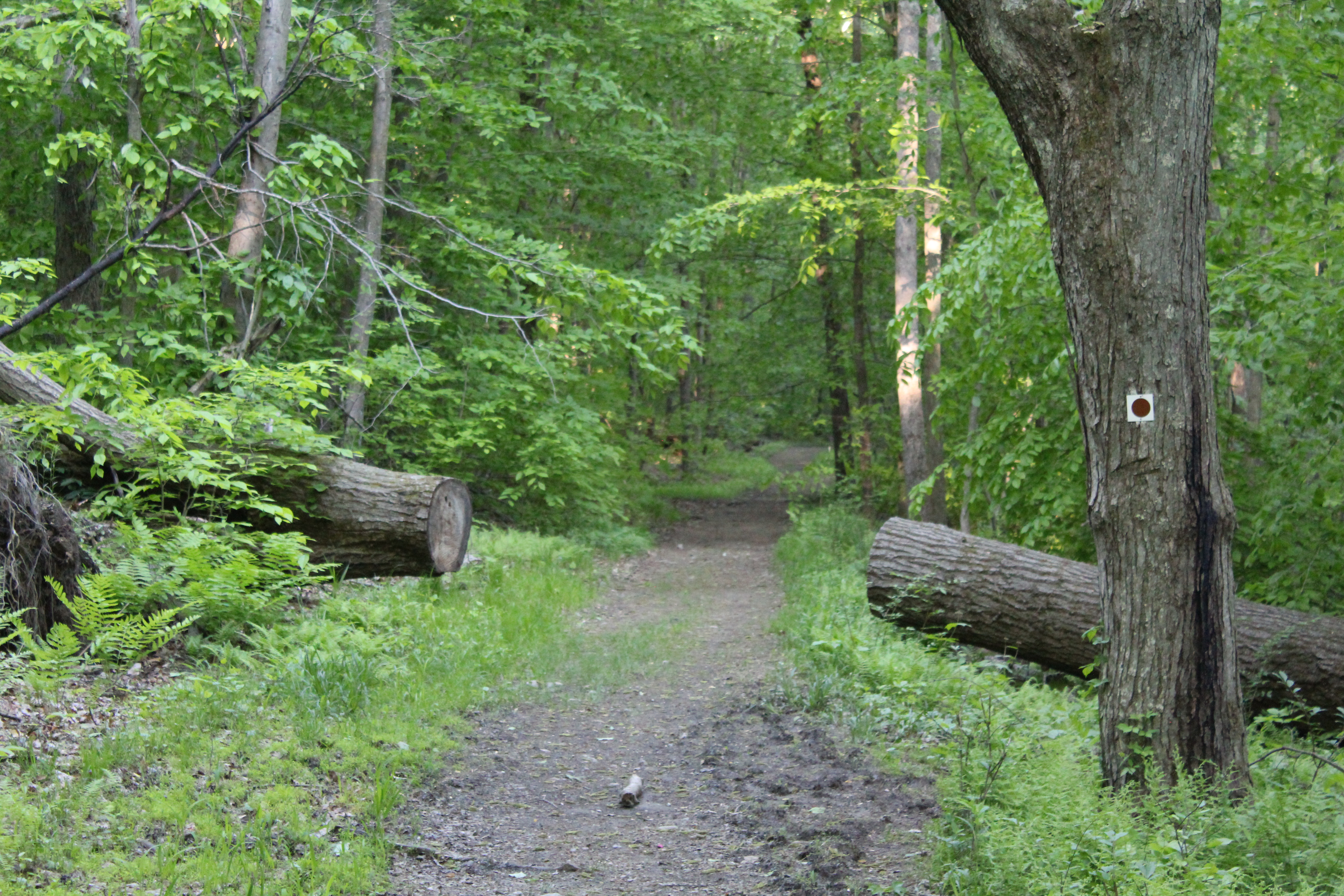
Starting to the right of the kiosk, the trail starts off pretty level but will soon begin a slow but steady climb. You will pass the white blazed Reeves Brook Trail on your right but you should stay on the red trail. Shortly after this the Pine Meadow trail (red blaze), stays to the right while the Stony Brook Trail (yellow blaze) quietly drifts off to the left and hugs the brook. Although you won’t take this trail now, you will be returning on it to finish the hike.
After a steady climb on the red trail, it will intersect with the Hillburn-Torne-Sebago Trail (orange blaze). Take this until you cross a bridge and make a right onto the Kakiat Trail (white blaze).
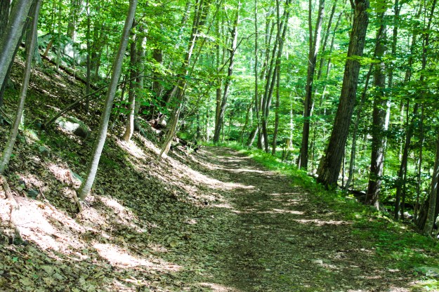
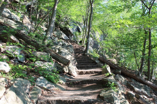
This next part of the hike is on pretty rocky terrain so you will need to take care as you move among the rocks. We had just had rain recently so they were still pretty slippery, and as a cautionary measure, I went through this area very slowly. The Kakiat Trail eventually meets up with the Pine Meadow Trail again until it intersects with the Pine Meadow trail. Turn left and begin following the yellow trail. It winds its way uphill until you get to a very rocky area. This is where the fun begins!
At this point the trail turns to the right and takes a dramatic turn uphill. Climbing on the rocks, I remember thinking, “Man, am I glad it isn’t raining.” This climb, as dangerous as it was, would have been much more treacherous if it had even been drizzling. After about twenty minutes of moving steadily uphill, the trail levels off and intersects with the Orange and Blue trails. Follow this dually blazed trail for half of a mile until the blue trail heads to the right and the orange trail makes a turn to the left and proceeds downhill, very steeply.
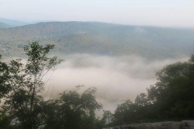
As I mentioned earlier, this part of the trail was pretty dangerous. It doesn’t look like this side of the mountain gets much sun because the rocks were still very wet, which made for very difficult for hiking.

Kiosk at the start of the hike.
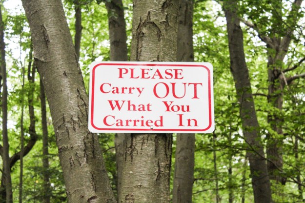
One of the only concerns I had as I looked over the map prior to the hike was that in several places where bridges were supposed to be, they were all designated as being “bridge out.” Bust as I hiked, I found that each of the bridges had been fixed or replaced. Here are just about all of the bridges that I passed on today’s hike.
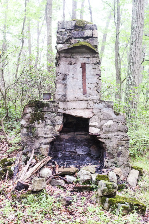
As I neared Pine Meadow Lake, I came across the following structure. I will admit that when I first saw this, I thought “Blair Witch Project”.

Hmmm…I was a more than a little surprised when I walked up on this in the middle of the woods.


A close up of one of the cairns.
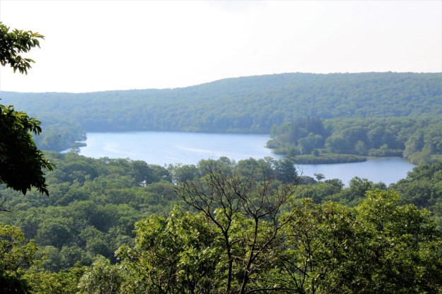
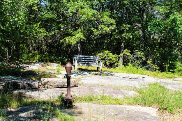
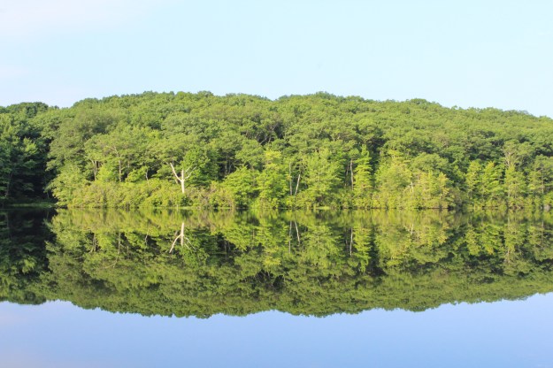
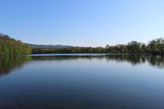
Pine Meadow Lake
Based on the last part of this hike, I would not recommend it for the faint of heart or if you have small children. The ascent on the yellow trail above Pine Meadow Lake can be very difficult, but the trip down the orange trail is dangerous. One wrong step or a slip could certainly mean a broken bone or worse.
Quick note-The Bear Mt. hike should have been labeled as hike #8. This hike therefore is #9.
Summer 2017 Mileage:
7/12/17-6.6-40.82