Tag Archives: bald rocks shelter

Day Two-Trouble Ahead!

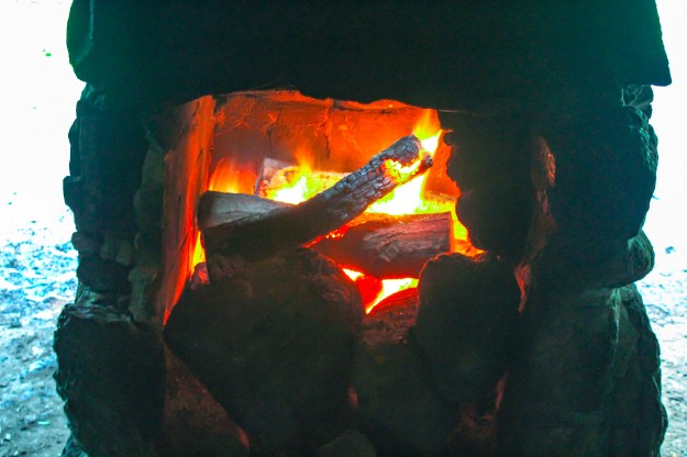
Knowing that water may be hard to come by for the nine mile hike on day two, my hiking partners rigged up a pretty simple water containment system to catch as much water as possible. Over night we did have several hours pouring rain and thunderstorms which made capturing the water that much easier.

When all was said and done, we collected and purified around 5 gallons of nice cold water!

IMG_6646_edited

Collecting water at the Bald Rocks Shelter.

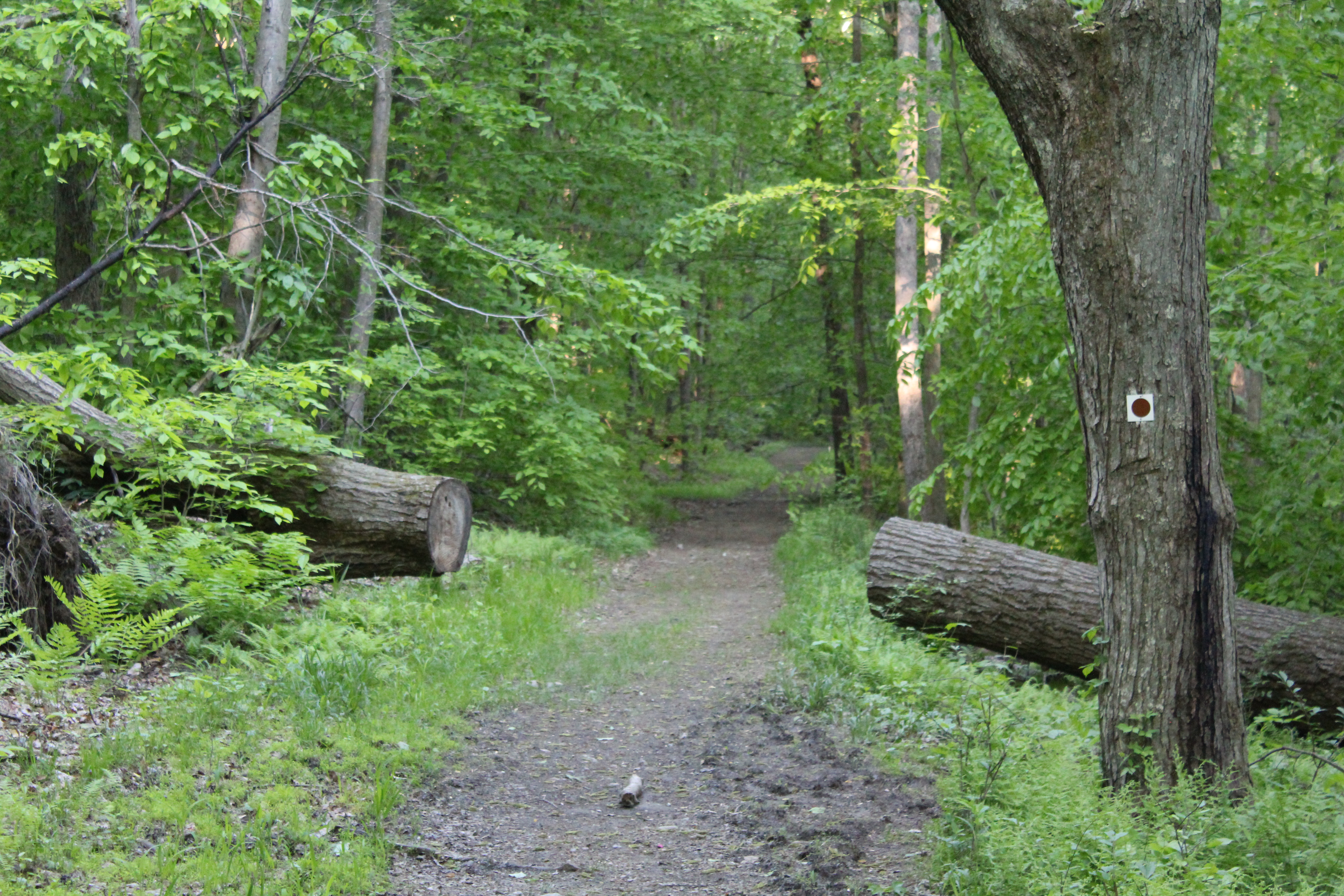
Now the fun begins! Leaving the shelter at around 10 am, we got back on the Ramapo Dunderberg trail and began our day! The terrain in this part of Harriman is just spectacular. Geologists believe that millions of years ago this area of New York may have been part of South America. It always amazes me that rocks end up where they do and stay there!

IMG_6650_edited

Beautiful scenery a half mile into the hike.

IMG_6651_edited

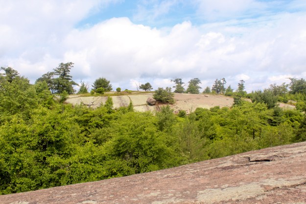
A couple of tenths of a mile from disaster!

IMG_6652_edited

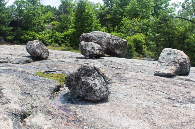
Although the rocks shown in these pictures are dry, when you got the end of one and it turned back into trail, the rock proved to be very slippery.  As I was coming down off of the rock in the third picture from the top, I began sliding and I lost my balance. My left foot became wedged between two rocks as I stopped, my forward momentum kept me moving.

End result? A fractured left ankle and a subsequent surgery to repair it.

Happy Hiking!!!

Hike #21-.9-117.85

Ramapo-Dunderberg Day One

The start of the my short shakedown hike (6/27) was as humid as you would expect for the end of June in New York. Temperatures in the mid 80’s with humidity almost equally as high guaranteed an early soaking. Since my son had a job interview that morning, we had him drop us off at the Tuxedo RR station at 6:30 am.  Starting early would also put us ahead of the heat and the humidity. The station marks the start of the Ramapo-Dunderberg Trail.

IMG_6603_edited

The view after the first climb.

The plan for the day was a simple one. Hike just a little over six miles and then spend the night at the Bald Rocks Shelter. Even though it was only six miles, I hadn’t hiked with a full pack in awhile and coupled with difficult terrain and weather, it was a long day. According to our GPS, we gained just about 1500 feet of elevation! Obviously the views were great.

IMG_6612_edited

IMG_6613_edited

IMG_6616_edited

The Bald Rocks Shelter is an interesting one.  This blurb was taken from MyHarriman.com:

  • Bald Rocks (Ramapo-Dunderberg Trail).  Massive local granite stones make up his walls, with a nice fireplace inside and a firepit outside.  The surrounding area is grassy, with trees close enough to allow hammocking, but not too tight to make you feel like you’re in the woods.  Because you’re not — you’re in a lovely grassy field on top of a hill. Great views, too!  The trails you’ll use to get to Bald Rocks are some of the best in the park, too, and you’ll be camping near some of Harriman’s coolest sights: Bowling Rocks, Ship Rock and the spine of Hogencamp Mountain.  Nice.
IMG_6622_edited

The Bald Rocks Shelter

IMG_6633_edited

Inside the shelter

IMG_6642_edited

The fireplace inside the shelter.


Happy Hiking!!!

Hike #20-6.25-116.95